Geoscience Education, Scenic adventure tours, Utah national park guides and all things geology.
The inspiration for utahgeology.com is the beauty and unsurpassed geologic exposures of Utah and the Colorado Plateau. This site tries to compliment the incredible geologic exposures of the Colorado Plateau by supplying free articles, information, teaching and data which will aid those seeking to understand the geology that makes Utah amazing.
Latest Hiking Guides (Geology Jaunts)
 https://utahgeology.com/wp-content/uploads/2018/11/scott-bradon-panoramio2.jpg
596
1600
Lance Weaver
https://utahgeology.com/wp-content/uploads/2021/03/utah-geology-site-logo.png
Lance Weaver2018-11-14 16:41:052018-11-14 16:41:57The Cockscomb Monocline & Cottonwood Wash of Grand Staircase Escalante National Monument
https://utahgeology.com/wp-content/uploads/2018/11/scott-bradon-panoramio2.jpg
596
1600
Lance Weaver
https://utahgeology.com/wp-content/uploads/2021/03/utah-geology-site-logo.png
Lance Weaver2018-11-14 16:41:052018-11-14 16:41:57The Cockscomb Monocline & Cottonwood Wash of Grand Staircase Escalante National Monument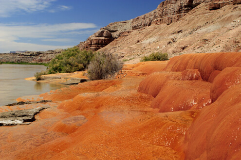 https://utahgeology.com/wp-content/uploads/2018/11/Crystal_Geyser_Utah_USA_-orange_travertine-23June2005.jpg
683
1024
Lance Weaver
https://utahgeology.com/wp-content/uploads/2021/03/utah-geology-site-logo.png
Lance Weaver2018-11-14 16:22:362018-11-14 16:23:36Utah’s Not So Old Faithful, Crystal Geyser
https://utahgeology.com/wp-content/uploads/2018/11/Crystal_Geyser_Utah_USA_-orange_travertine-23June2005.jpg
683
1024
Lance Weaver
https://utahgeology.com/wp-content/uploads/2021/03/utah-geology-site-logo.png
Lance Weaver2018-11-14 16:22:362018-11-14 16:23:36Utah’s Not So Old Faithful, Crystal Geyser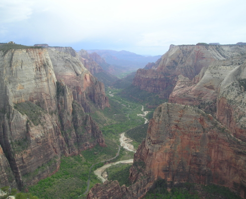 https://utahgeology.com/wp-content/uploads/2018/11/P1010038.jpg
1536
2048
Lance Weaver
https://utahgeology.com/wp-content/uploads/2021/03/utah-geology-site-logo.png
Lance Weaver2018-11-14 15:58:542021-04-29 20:36:23The Geology of Zion National Park
https://utahgeology.com/wp-content/uploads/2018/11/P1010038.jpg
1536
2048
Lance Weaver
https://utahgeology.com/wp-content/uploads/2021/03/utah-geology-site-logo.png
Lance Weaver2018-11-14 15:58:542021-04-29 20:36:23The Geology of Zion National Park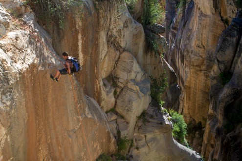 https://utahgeology.com/wp-content/uploads/2018/11/10383791_10152540966253200_3515851343783774536_o.jpg
1366
2048
Lance Weaver
https://utahgeology.com/wp-content/uploads/2021/03/utah-geology-site-logo.png
Lance Weaver2018-11-14 15:22:572018-11-14 15:43:22Geology of Kolob Creek in Zion National Park
https://utahgeology.com/wp-content/uploads/2018/11/10383791_10152540966253200_3515851343783774536_o.jpg
1366
2048
Lance Weaver
https://utahgeology.com/wp-content/uploads/2021/03/utah-geology-site-logo.png
Lance Weaver2018-11-14 15:22:572018-11-14 15:43:22Geology of Kolob Creek in Zion National Park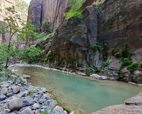 https://utahgeology.com/wp-content/uploads/2018/08/20210601_160134-scaled.jpg
1440
2560
Lance Weaver
https://utahgeology.com/wp-content/uploads/2021/03/utah-geology-site-logo.png
Lance Weaver2018-08-10 12:22:112021-07-13 21:45:39The Virgin River Narrows (how far is it? geology of?)
https://utahgeology.com/wp-content/uploads/2018/08/20210601_160134-scaled.jpg
1440
2560
Lance Weaver
https://utahgeology.com/wp-content/uploads/2021/03/utah-geology-site-logo.png
Lance Weaver2018-08-10 12:22:112021-07-13 21:45:39The Virgin River Narrows (how far is it? geology of?)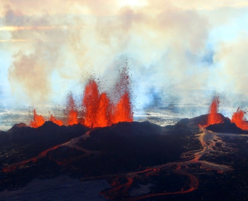 https://utahgeology.com/wp-content/uploads/2015/05/Iceland-Volcano-Lava-Flow.jpg
960
1440
Lance Weaver
https://utahgeology.com/wp-content/uploads/2021/03/utah-geology-site-logo.png
Lance Weaver2015-05-26 14:00:272021-10-26 18:19:38Utah’s Three Types of Volcanoes
https://utahgeology.com/wp-content/uploads/2015/05/Iceland-Volcano-Lava-Flow.jpg
960
1440
Lance Weaver
https://utahgeology.com/wp-content/uploads/2021/03/utah-geology-site-logo.png
Lance Weaver2015-05-26 14:00:272021-10-26 18:19:38Utah’s Three Types of Volcanoes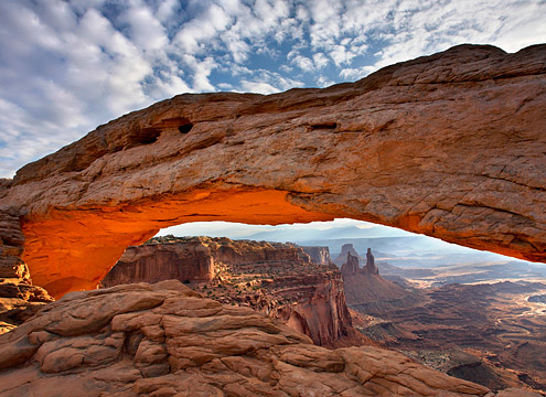 https://utahgeology.com/wp-content/uploads/2015/04/mesa-arch.jpg
360
640
Lance Weaver
https://utahgeology.com/wp-content/uploads/2021/03/utah-geology-site-logo.png
Lance Weaver2015-04-28 14:38:142024-02-25 02:08:31How Are Arches Formed?
https://utahgeology.com/wp-content/uploads/2015/04/mesa-arch.jpg
360
640
Lance Weaver
https://utahgeology.com/wp-content/uploads/2021/03/utah-geology-site-logo.png
Lance Weaver2015-04-28 14:38:142024-02-25 02:08:31How Are Arches Formed?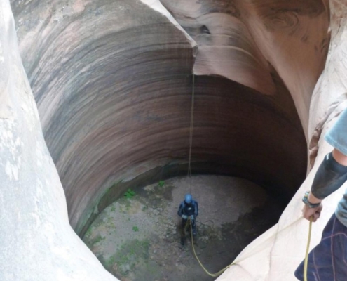 https://utahgeology.com/wp-content/uploads/2015/04/keeper_pothole_pit_of_despair_poe_canyon.jpg
1030
772
Lance Weaver
https://utahgeology.com/wp-content/uploads/2021/03/utah-geology-site-logo.png
Lance Weaver2015-04-16 14:10:092015-04-16 14:10:09Keeper Potholes & How They Are Formed
https://utahgeology.com/wp-content/uploads/2015/04/keeper_pothole_pit_of_despair_poe_canyon.jpg
1030
772
Lance Weaver
https://utahgeology.com/wp-content/uploads/2021/03/utah-geology-site-logo.png
Lance Weaver2015-04-16 14:10:092015-04-16 14:10:09Keeper Potholes & How They Are Formed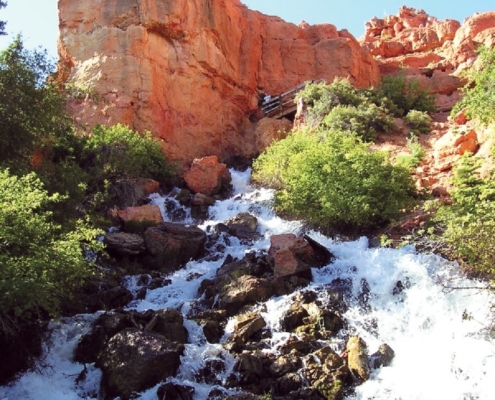 https://utahgeology.com/wp-content/uploads/2015/04/CascadeFalls2.jpg
1030
773
Lance Weaver
https://utahgeology.com/wp-content/uploads/2021/03/utah-geology-site-logo.png
Lance Weaver2015-04-16 11:30:332015-04-16 11:30:33CASCADE FALLS, KANE COUNTY, UTAH
https://utahgeology.com/wp-content/uploads/2015/04/CascadeFalls2.jpg
1030
773
Lance Weaver
https://utahgeology.com/wp-content/uploads/2021/03/utah-geology-site-logo.png
Lance Weaver2015-04-16 11:30:332015-04-16 11:30:33CASCADE FALLS, KANE COUNTY, UTAHGeologic History
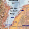 Colorado Plateau Paleogeographic Reconstructions
Paleogeography illustrations and information for Utah and the Colorado Plateau. Check back as we work on adding more vector map graphics (instead of rasters) allowing them to be integrated into GIS applications. We’re working on integrating these with our stratigraphic column database, allowing users to access the underlying data. …read overview
Geologic Formations
 Informative information on 30 or so of the most well-known units of Utah and Colorado Plateau. The formation description pages are also linked to the image gallery, so users can see pictures of each formation and their changes in facies. …read overview
Strat Columns
 Stratigraphic Sections for Utah Areas
Stratigraphic columns from all over the state of Utah and Colorado Plateau. Columns are dynamically created from a MySQL database allowing us to use the stratigraphic information to create other dynamic online resources such as isopach/layer thickness maps, statewide formation maps and formation name correlation charts. …read overview
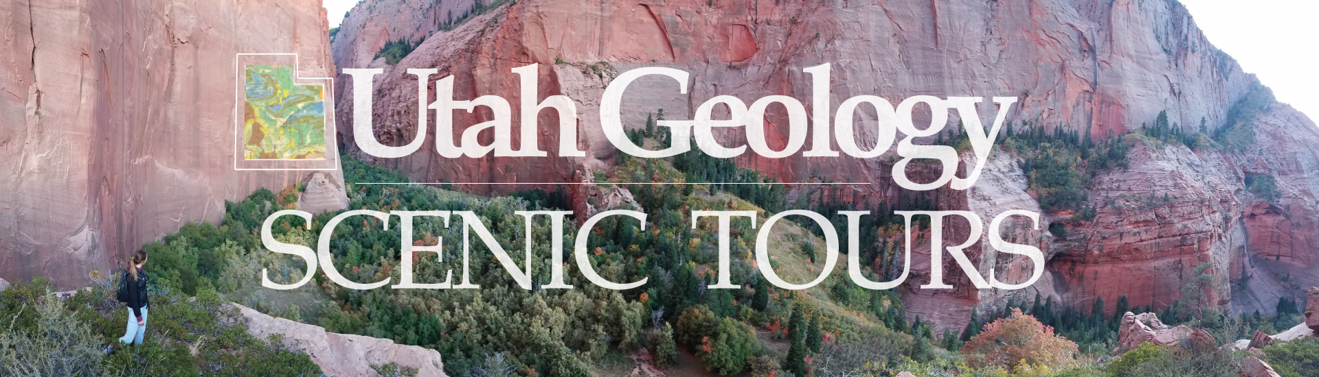
Road Guides
 Geologic Road Guides for Utah’s Highways
Detailed road guides for much of the state much like the popular “Roadside Geology” books. Check back as we work on integrating many more pictures and interactive elements as well as pulling in info from the image gallery. …read overview
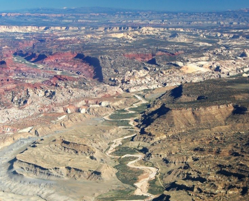
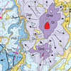
Geologic Imagery
 Annotated Geologic Aerial Photographs
This section contains/will contain aerial photos of the state and the Colorado Plateau, each with all geologic formations annotated or labeled for easy identification. …read overview
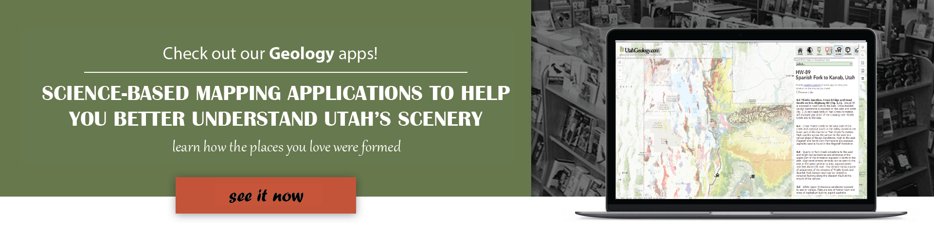
Geologic Map Application Gallery
Click a quick link here, or go to our Map Application Gallery page for descriptions of all my sweet interactive maps.