Subsurface Piracy: The Vanishing Waters of the Kolob Creek Drainage.
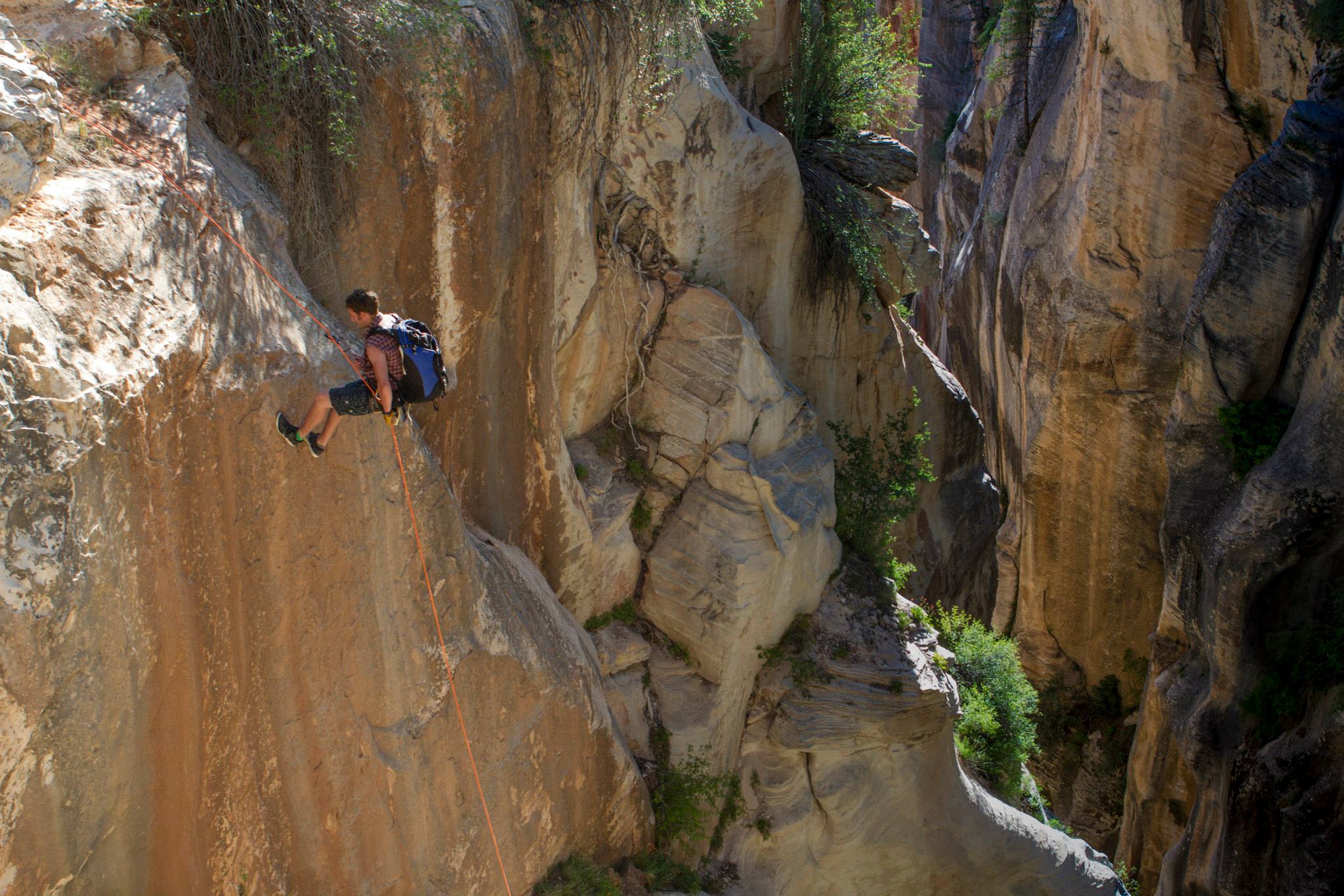
Kolob Creek Canyon, Zion National Park
Introduction
To the casual observer, the hydrology of the Colorado Plateau appears straightforward: water flows down-gradient, carving the spectacular “Slot Canyons” for which Zion National Park is world-renowned. However, recent field observations within the Kolob Creek drainage—located just north of the park boundary—reveal a far more complex and enigmatic plumbing system. On a recent survey of the canyon, a striking hydrological anomaly was noted: while the Washington County Water Conservancy District confirmed a steady release of 3 cubic feet per second (cfs) from the Kolob Reservoir, the creek bed above the first technical rappel was found to be entirely sub-aerial—bone dry.
The question for any field geologist is immediate: where did 95% of that discharge vanish? By analyzing the local stratigraphy and structural dip, we can begin to map a fascinating story of karst-driven drainage piracy and the shifting “musical chairs” of ancient stream channels.
The “Missing” Water and the Carmel Limestone
Field verification at the highway bridge confirmed that the 3 cfs was indeed present in the upper reaches. Yet, by the time the drainage approaches the deeper incisions of the canyon, the water disappears. My working hypothesis involves the unique contact between the Co-op Creek Member of the Carmel Formation and the underlying Temple Cap and Navajo Sandstones.
The Carmel Formation here is primarily composed of limestone and gypsum—rocks highly susceptible to dissolution. It is likely that the creek has established a seepage path through the gravels located down-canyon from the Lava Point flows. This water is entering a “piping” system within the basal unit of the Carmel, traveling laterally and down-dip toward the north-east. This “hidden” water eventually resurges as springs, feeding the two prominent waterfalls that cascade off the north wall of the canyon. Observations of these waterfalls suggest they are “over-performers”; the surface area of their immediate catchments is mathematically insufficient to produce their current discharge. Furthermore, the youthful geomorphology of the first waterfall suggests a very recent breach—perhaps only a few hundred to a thousand years old.
A History of Capture: The Ghost Channels of Kolob
This modern “disappearing act” is merely the latest chapter in a million-year history of drainage reorganization. In geology, we often find that the current path of a river is a “thief” that stole its water from an older neighbor.
The Boundary Canyon Phase: Evidence suggests that Boundary Canyon once served as the primary channel for Kolob Creek. Over time, the current channel successfully captured the headwaters, leaving Boundary Canyon as a “misfit stream” with a drainage far too large for its current trickle.
The Lee Valley Ancestry: Even further back, the drainage looks entirely different. Approximately 1.02 million years ago, Kolob Creek flowed southwest through Lee Valley and Little Creek, eventually reaching the area now known as the “Subway.”
We know this because the Lava Point lava flow acted as a “liquid cast” of the ancient topography. In the early Pleistocene, the main canyons were at least 1,000 feet shallower, and neither Wildcat Canyon nor the current Kolob Creek channel had incised deeply enough to redirect the flow. By using interactive mapping to trace the basalt of the Lava Point flow, we can see the “inverted topography” of a riverbed that once was.
The Future of the Drainage: The Oak Creek Threat
Geological processes are never static. As we look down the barrel of the next few hundred thousand years, the “geologic clock” suggests another capture is imminent. Just as the current Kolob channel captured Boundary, Oak Creek is currently eroding headward with significant energy.
Because the current Kolob channel is forced to navigate over resistant basalts, it is at a competitive disadvantage. Eventually, Oak Creek will likely breach the divide just downstream of the current reservoir, “pirating” the water once again. When this happens, the current world-class slot canyon of Kolob Creek will become a dry, silent gallery of stone—a “fossil” canyon left behind by the relentless, shifting hydrology of the Zion highlands.


BACKGROUND STORY: As a geologist for the Utah Geological Survey, I recently canyoneered Kolob Creek. Long story short, the Washington County Water Conservancy District said 3 cfs was being released from Kolob Reservoir continuously all week; but when I got to the creek above the first rappel, it was bone dry (many others have shared this experience too). We checked the bridge at the Highway before starting the hike and there was definitely at least 3 cfs in the creek… but at the top of the first rap in it was completely dry. (maybe 1/8 cfs was flowing in the slot after the first or second rap)
Where did 95% of the water go? My geologic investigation suggests it has dissolved a seepage path into the basal unit of the Co-op creek member of the Carmel Limestone (which sits on the temple cap & Navajo Sandstones — near the lava flows north of lava point, probably entering through gravels BELOW/down canyon of the lava flows), and travelling laterally north-eastward (down dip) to come out of springs in the two waterfalls which run off the north wall of the canyon. Those drainages are NOT big enough to self produce the amount of water thy do… and that first waterfall is incredibly young (probably 2,000 to a few hundred years or younger).
Craziest (albeit more speculative) aspect of this story is that it quite likely has happened before. Where Boundary Canyon is actually the old MAIN channel to Kolob creek, but the current channel captured the drainage and left Boundary mostly dry.
In fact… before that, Kolob Creek actually traveled SOUTH-WEST through Lee Valley/Little Creek just east of Northgate Peak & down to the bottom of the Subway. The Lava Point Lava flow preserves that old stream channel—it dates to about 1.02 million years ago. (at that point neither wildcat canyon or the current Kolob creek channels existed enough to capture the lava flow… and the main canyon was at least 1,000 feet shallower). You can see that ancient channel very clearly using our interactive map viewer to trace the lava point lava flow.
Give it another few hundred thousand years… and Oak Creek will almost certainly capture Kolob Creek somewhere just down from the current reservoir and the main arm of Kolob Creek will once again get left dry… (since the current channel goes over basalts… which almost always get sidelined in the grand scheme of things)


